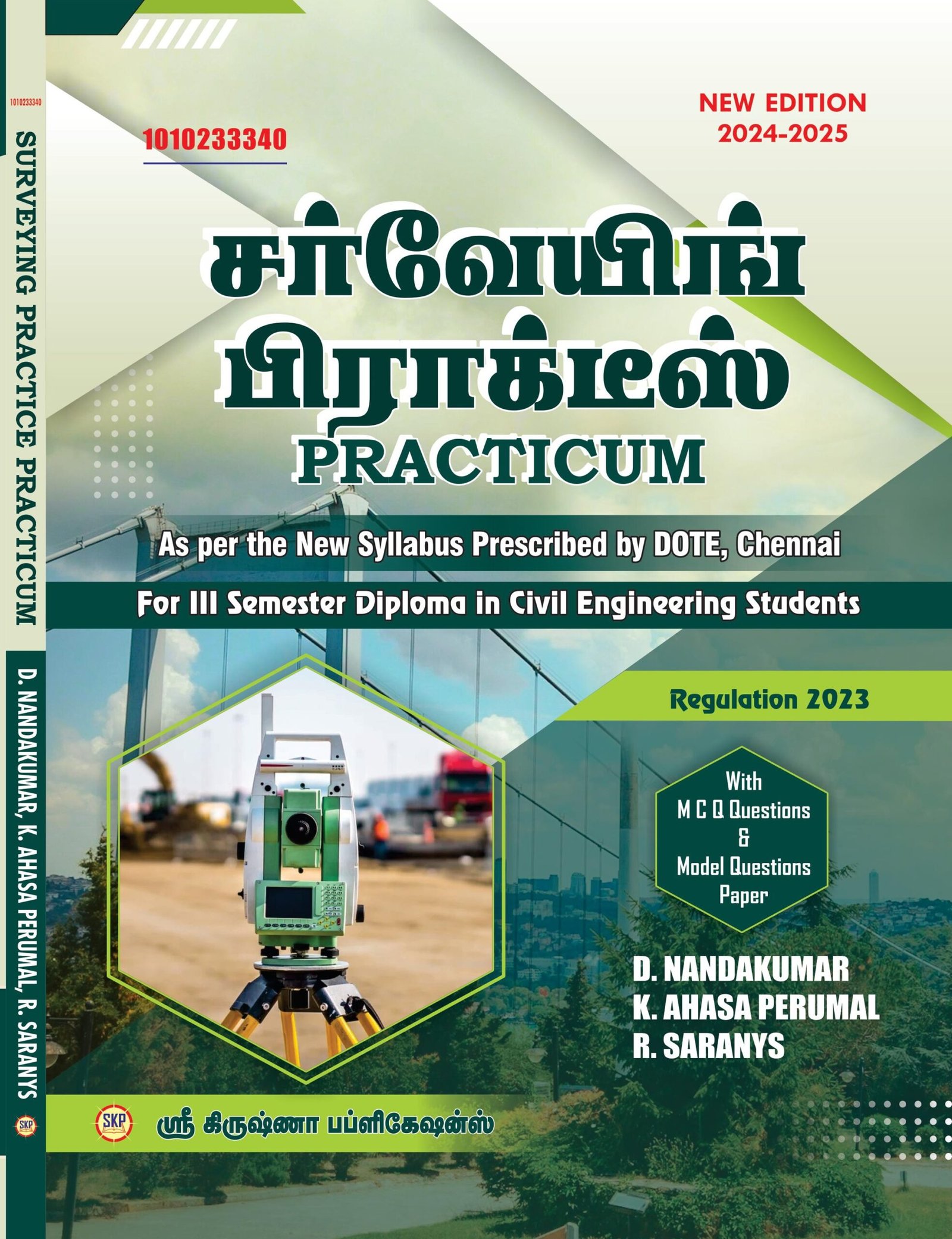
1010233340 Surveying Practice
Practicum
Unit I CHAIN & COMPASS SURVEYING
1.1
Introduction
Definition of surveying – object of surveying – Division of surveying – Surveying Units and its conversion.
1.2 Chain surveying:
Ranging – Types – Direct and Indirect ranging – Survey stations- types – Baseline – Check line – Tie line – Chain triangulation – Offsets – Types.
1.3 Compass Surveying
Compass- Types – Purpose – Whole Circle Bearing and Reduced Bearing- Fore and Back bearing – Magnetic dip and Declination – Meridian – Types – Bearing – Types – Open and closed traverse.
Exercises:
1)
Study of FMB sketch/Land documents and instruments used for chain surveying. (Not for examination)
2)
Determine the distance between two ground stations with the help of a chain. (Direct ranging)
3)
Calculate the area bounded by the given points by chain triangulation.
4)
Find the included angle of the given closed traverse by using a compass (Minimum 5 stations).
Unit II LEVELLING & CONTOURING
2.1 Levelling
Levelling – Temporary adjustment – Terms used in Levelling – Back Sight – Fore sight – Intermediate sight – Changepoint -Benchmark – Types – field book – Methods of Reduction of levels – Height of collimation – Rise and Fall method.
2.2 Contour Surveying:
Definition – Contour – Contouring – Contour interval – horizontal equivalent-Characteristics of Contours – Contour Gradient – interpolation of contours – Uses of Contour plan and Map
Exercises:
5)
Determine the elevations of given points (Minimum 6 points) by conducting fly levelling with Height of collimation method.
6)
Determine the elevations of given points (Minimum 6 points) by conducting fly levelling with Rise and fall method.
7)
Conduct a block contouring survey in the given irregular field and plot the contour lines. (Not for examination)
Unit III THEODOLITE SURVEYING &TRIGONOMETRICAL LEVELLING
3.1 Theodolite surveying
Theodolite – Types – Transit and non-Transit – Vernier and Micrometer – Technical terms used – Temporary adjustments – Fundamental lines – Interrelationships –Horizontal angle determination by repetition method and reiteration method – Latitude and Departure – Consecutive coordinates – Independent coordinates.
3.2 Trigonometrical Levelling
Definition – Uses – Finding elevation of objects – Base accessible – Base inaccessible – Single plane method (No derivation) – Double plane method. (No derivation)
Exercises:
8)
Determination of distance between two points when their bases are accessible, using Theodolite – Measuring Horizontal angles by repetition method and distances from a Theodolite station.
9)
Determination of distance between two points when their bases are inaccessible, using Theodolite – Measuring Horizontal angles by reiteration method from a baseline.
10)
Determine the elevation of an object whenthe base is accessible by trigonometrical levelling.
11)
Determine the elevation of an object when the base is inaccessible by single plane method.
Unit IV TACHEOMETRIC SURVEYING & AREAS AND VOLUMES
4.1 Tacheometry
Instrument used – System of Tacheometry – stadia and tangential – Fixed hair method and movable hair method – Tacheometric Constants – Anallactic lens (No Proof) – Uses – Distance and elevation formulae for horizontal and inclined line of sight (No derivation) – Uses of tacheometry.
4.2 Areas and volumes
Methods of determining areas and volumes – Mid ordinate rule – Average ordinate rule – Trapezoidal rule – Simpson’s rule – One-level section and two-level section.
Exercises:
12) Determine the constants of the given tacheometer.
13) Determine the gradient between two points by stadia tacheometry.
14) Calculate the area of the given irregular field by using the Trapezoidal rule
15) Calculate the area of a given irregular field by using Simpson’s rule.
Unit V MODERN SURVEYING
5.1 Total station
Introduction – components parts – accessories used –Summary of total station characteristics –Features of total station- applications of total station – Instrument preparation and setting.
5.2 Global Positioning System
Introduction – Maps – Types of maps – Various satellites used in GPS – Fundamentals of GPS – Handheld GPS – Differential GPS – Applications of GPS in Civil Engineering field.
Exercises:
16) Determine the Horizontal distance, slope distance, height, and horizontal and vertical angle of given points using Total Station. (Minimum 5 points)
17) Find the coordinates of closed traverse stations using the Total Station and determine the area of the traverse.
18) Determine the area of a field/ Land/College campus etc. using Total Station. (Not for examination)







Reviews
There are no reviews yet.